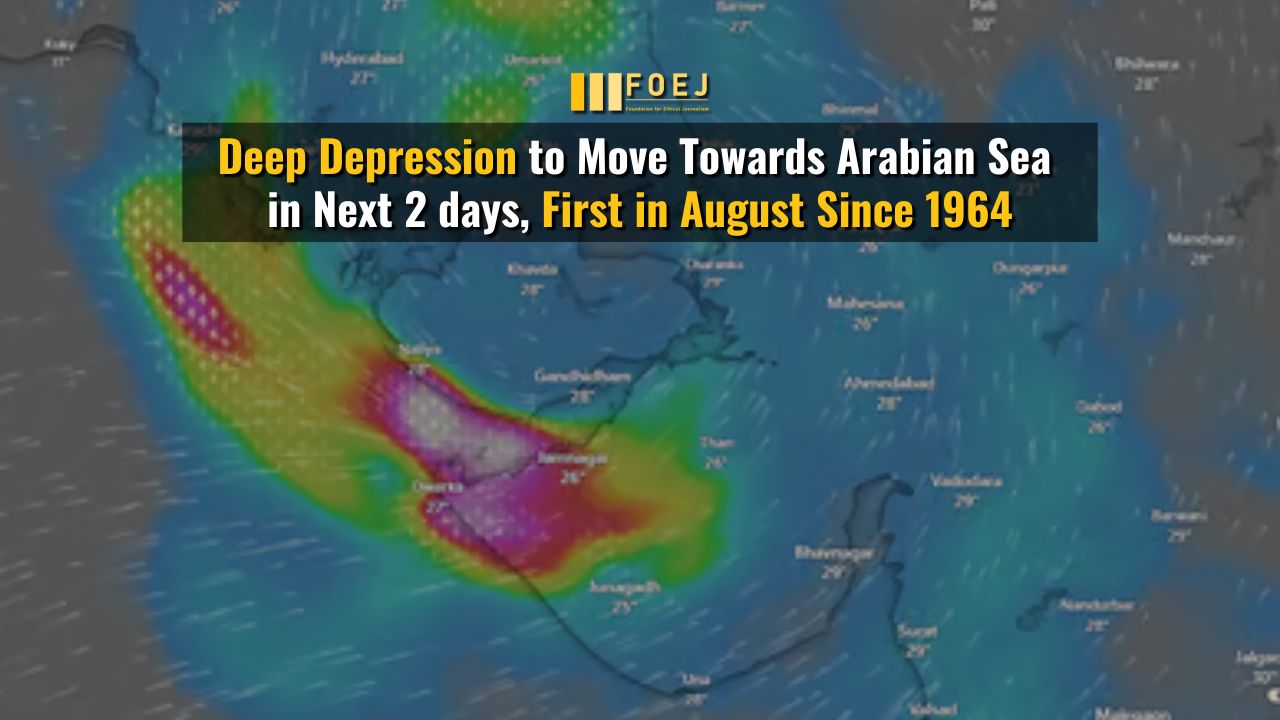
The India Meteorological Department (IMD) has reported that the rare land-based depression causing heavy rains and flooding across Gujarat is expected to move into the Arabian Sea by Friday.
“It is likely to move slowly west-southwestwards across Saurashtra & Kachchh region and reach Saurashtra & Kachchh and adjoining areas of Pakistan coasts by morning of 29th August,” IMD said in its press release on August 28.
“It is likely to continue to move west-southwestwards and emerge into northeast Arabian Sea off Kachchh and adjoining Saurashtra & Pakistan coasts by morning of 30th August. While moving west-southwestwards over northeast Arabian Sea away from the Indian coast, there is a possibility of its temporary and marginal intensification over northeast Arabian Sea on 30th August,” IMD added.
What did the Weather Platform Say?
Meanwhile, According to Windy.com, the weather platform, the storm already has cyclonic wind speeds over Gujarat. If this is what is happening, it would be the first land-based tropical cyclone since 2008 and only the 15th since 1891, based on data from the IMD analyzed by Down To Earth (DTE). The previous land cyclone before 2008 happened in 1976.
On August 28, 2024, at around 5 pm, the Windy platform showed wind speeds of up to 96 km/h over the Saurashtra region. This was based on data analyzed from the European Centre for Medium Range Weather Forecasts (ECMWF).
Supported with data from the United States Global Forecasting System (GFS), The weather platform shows wind speeds as high as 84 km/hr over the Saurashtra region.
Tropical Cyclone
As per IMD a storm is a tropical cyclone if it has wind speeds in the range of 62-88 km/hr and a ‘severe cyclone’, when it has wind speeds of 89-117 km/hr.
Both ECMWF and GFS data on Windy indicate that the system is keeping its strength while over the Arabian Sea and moving towards Oman. Normally, for a depression to turn into a tropical cyclone, it needs heat and a lot of moisture, which is usually only available over the sea. This makes the current system’s intensification very unusual, showing that it had enough moisture in its path to gain strength.


